
27509 Results for For sale in Berne Ny
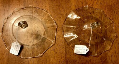
Pair (2) Of CLEAR Glass Ruffled Smoke Bells for Hanging Oil lamps. Both are free from chips or defects. Ruffled edges add subtle charm. They both are completely clear and match- my flash firing made the 1 on the left look different.…
1 month ago on ebay.com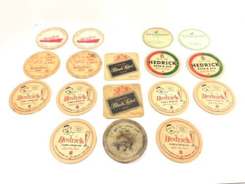
Lot of 17 Vintage 1950’-1960’s Coasters & Beer Advertising Coasters Featuring: Hendrick Brewing Co. Albany Ny Carling Black Label Beer Ballantine Beer as well as: St. Lawrence Seaway Massena NY Cordial Greens Co…
1 month ago on ebay.com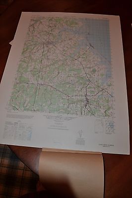
This is an Army Map Service map (AMS V732) of Cedar Creek from the 1940's , showing Milton, Ellendale, Milford, Fowler Beach and Slaughter Beach. This was developed as part of the war effort and was distributed to…
1 month ago on ebay.com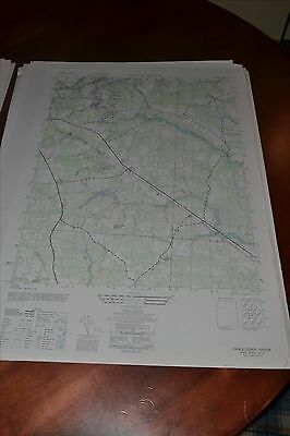
This is an Army Map Service map (AMS V834) of Nebletts Mill (printed 1946-50) showing from Disputanta south to Newville. The Norfolk and Western Railroad bisects the map. This was developed by the military as p…
1 month ago on ebay.com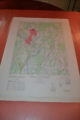
This is an Army Map Service map (AMS V814) of Ansonia from the 1940's showing from Milford and Stratford north to Seymour. The map is bisected by the Housatonic River This was developed as part of the war effort a…
1 month ago on ebay.com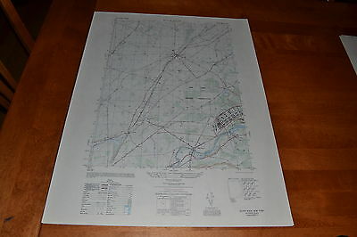
This is an Army Map Service map of Black River from the 1950 showing from the Black River north past Evans Mills to the Indian River. Shown is the Pine Camp Military Reservation which was used as a POW camp during…
1 month ago on ebay.com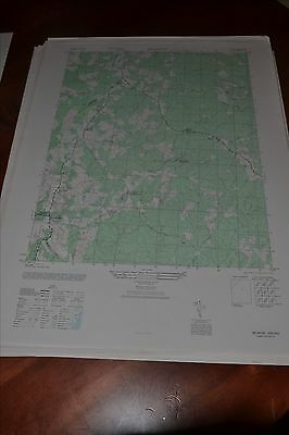
This is an Army Map Service map (AMS V834) of Belmont (printed 1946) showing Bells Cross Roads, Jones Store, Porters, Mastins Corner, Granite Springs, Richards Shop and Paytes. This was developed by the military as …
1 month ago on ebay.com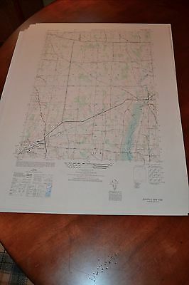
This is an Army Map Service map (AMS V821) of Rushville showing Gorham and Reed Corners (printed 1946-50). This was developed as part of the war effort and was distributed to select libraries after the war. Th…
1 month ago on ebay.com