
31295 Results for For sale in Altamont Ny

This is an Army Map Service map (AMS V822) of Washington (printed 1946, based on 1942 aerial photography ) showing Oxford Furnace, Mountain Lake, Townsbury, Great Meadows, Port Murry, Anderson and Port Colden. �…
1 month ago on ebay.com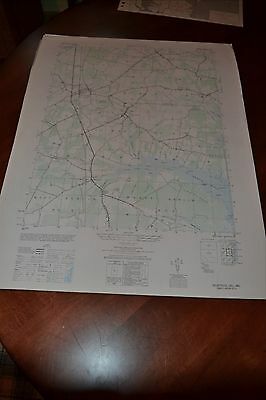
This is an Army Map Service map (AMS V833) of the Selbyville area from the 1940's , showing south into Maryland . This was developed as part of the war effort and was distributed to select libraries after the war.…
1 month ago on ebay.com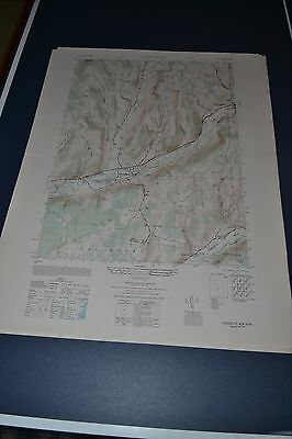
This is an Army Map Service topographic map of Schenevus from the 1940's showing parts of Harpersfield, Davenport, Maryland and Westford including the Schenevus Creek. This was developed as part of the war effort an…
1 month ago on ebay.com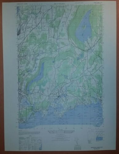
This is an Army Map Service map (AMS V814) of Branford from the 1940's showing from Momaugun Beach to Stony Creek and north into North Haven This was developed as part of the war effort and was distributed to select…
1 month ago on ebay.com
This is an Army Map Service map (AMS V814) of Fall River East from the 1940's showing South and North Watuppa Pond east into Dartmouth and Freetown; This was developed as part of the war effort and was distributed t…
1 month ago on ebay.com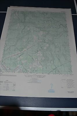
This is an Army Map Service map (AMS V845) of Trinity showing from Camp Stewart itself (including Liberty Field) north and east into Liberty County (printed 1948). nbsp; This was originally developed by the milita…
1 month ago on ebay.com
This is an Army Map Service map of Sparrowhawk Point from the 1940's showing the Saint Lawrence River from Round Island to east of Whitehouse Creek Twin Island including the Galop Canal and Iroquois Ont. This was de…
1 month ago on ebay.com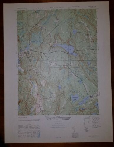
This is an Army Map Service map (AMS V814) of Voluntown from the 1940's (printed 1949) showing parts of New London County and Kent and Washington Counties in RI. This was developed as part of the war effort and was …
1 month ago on ebay.com